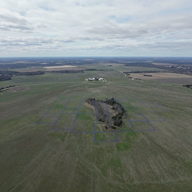
Precise Southeast Minnesota parcel data
Verify buildability, karst topography features, and zoning overlays. We deliver presentation-ready PDF reports for five core counties in under 24 hours.
Five counties, complete intelligence
We actively monitor county-level GIS parcel splits, public land records, and environmental hazard databases across the entire Southeast Minnesota Driftless Region.
Supported Counties
We provide complete coverage and guaranteed 24-hour turnaround for Olmsted, Winona, Fillmore, Houston, and Wabasha counties.
What we verify
Our reports map critical karst hazards, sinkholes, local zoning overlays, historic parcel splits, and public utility easement boundaries.
One report. No subscription.
Get complete parcel intelligence for a single flat rate. No recurring subscriptions, no hidden fees, and a guaranteed 24-hour turnaround.
Standard Parcel Report
Multi-Parcel Portfolio
$149
per report
$399
up to 5 parcels
A comprehensive due diligence report covering zoning overlays, karst features, soil composition, and buildable acreage for any single parcel.
Custom portfolio analysis designed for developers and rural brokers managing contiguous tracts, large acreage, or multiple listing options.
Clear answers for brokers
How is the report delivered?
What are karst features?
You will receive a presentation-ready PDF report directly in your inbox within 24 hours of placing your order.
Karst topography includes sinkholes, disappearing streams, and caves common to Southeast Minnesota. We map these to identify buildability risks.
Where does your data come from?
Can I share this with clients?
Our team combines county-level GIS records with state geological databases, high-resolution LiDAR elevation models, and local zoning overlays.
Yes. All reports are formatted as clean, professional PDFs designed specifically to be shared with buyers and sellers.
Ready to verify land?
Get complete parcel intelligence delivered to your inbox in 24 hours. Eliminate land-acquisition surprises and proceed with absolute confidence.